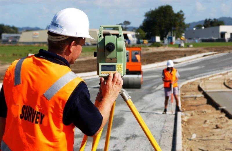
Digital Survey & Marking delivers accurate, technology-driven geo-spatial data using modern surveying instruments. We measure and map land, roads, layouts and structures so clients can plan with confidence, resolve boundary questions and execute projects on solid ground.
Service Overview
Surveying is the foundation of good planning. Before a site is designed, subdivided, built on or sold, someone has to know exactly what is on the ground - where the boundaries are, how the land slopes, and what features it holds.
Nathan Associates captures that information using modern instruments and careful field work, then translates it into measurements, markings and reports you can plan, design and build from - with confidence.
Service Capabilities
Every capability below is a supported part of our Digital Survey & Marking service.
Surveys that establish what a site really is - its shape, size, boundaries and features.
Technology-backed surveys that deliver precise coordinates, aerial views and level data.
Alignment and marking support for roads, pipelines and working sites.
Precise layout and alignment marking for plots, machines and fuel stations.
Typical Applications
These are common situations where accurate surveying and marking makes a real difference.
Verify boundaries, area and records before you buy or sell land.
Divide land into marketable plots with accurate layout marking.
Start from accurate site levels, features and boundaries.
Survey and marking for roads, pipelines and service lines.
Keep construction aligned with the approved plan and levels.
As-built surveys that document what was actually built.
How It Works
From first conversation to final deliverable, you always know where your project stands.
We listen to your site, its purpose and what you need to know, measure or achieve.
We decide the right survey type, instruments and approach for your project.
Our team captures accurate measurements and site data on the ground.
Field data is processed, checked and prepared into clear, usable results.
You receive clear outputs, and we stay available as your project moves ahead.
Why Clients Work With Us
Measurements taken with modern instruments and careful on-site work.
Clear site data that makes decisions and designs easier to make.
Survey results and records that support purchases, approvals and records.
Ongoing marking and guidance through planning and execution.
Tell us about your site and what you need - our team will come back with a clear scope and a practical plan.