From precise site measurement to approvals and technical consultancy, Nathan Associates turns accurate information into clearer project decisions - in Tamil Nadu and across India.


Survey · Approvals
· Consultancy
About Us
Nathan Associates was established in Tamil Nadu with a clear vision - to bridge the growing gap in surveying services within the construction industry. What began as a focused initiative has grown into a surveying and project services provider, working across India with a team of qualified professionals.
We pair a technology-driven approach with disciplined field work to deliver accurate, reliable services - from survey and marking to approvals and consultancy.
Digital Survey & Marking
Accurate geo-spatial data for planning, boundaries and execution.
Approvals
Clear documentation and follow-up through the right approval path.
Consultancy
Technical guidance from soil testing to design and delivery.
How We Work
Every project follows the same disciplined sequence - understanding first, measurement, planning, then delivery.
Step 01
We start from your project, site and objectives - so the work is defined before it begins.
Step 02
Field survey and documentation capture accurate information you can plan from.
Step 03
We structure the approach - marking, drawings, the approvals path or design direction.
Step 04
Clear outputs with dependable follow-through as your project moves ahead.
Our Services
Digital Survey & Marking, Approvals and Consultancy - accurate data, clear processes and dependable support for every project.
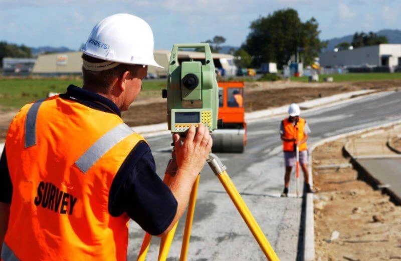
Precise geo-spatial data for confident project planning
Surveying and marking that gives you accurate, usable site data - from boundaries and levels to layouts and alignment.

Land and building approvals handled the right way
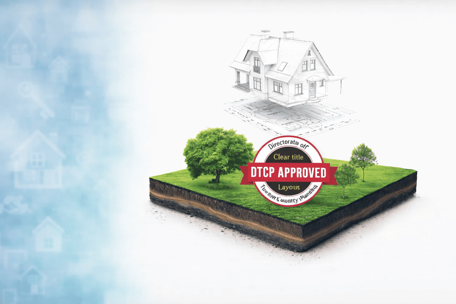
Assistance with land and building approvals - clear documentation, the right route and focused follow-up.

Technical guidance from design to project delivery
Technical support across the project journey - from soil testing and valuation to design, BIM and project management.
Capability Matrix
A quick reference list - find what you need and where it sits within our three service lines.
Measure a site, boundary or plot
Lay out site, road or building marking
Record terrain or elevation for planning
Get a building or commercial plan approved
DTCP / RERA registration or compliance
NOC, land conversion or regularisation
Understand ground conditions before building
Value land or property for a decision
Design work in 2D / 3D or structural
Coordinate a project from plan to delivery
Field to Decision
Every engagement funnels accurate field information through a defined technical sequence - so your decisions rest on measured, documented reality.
01
Survey, measurement and site observation.
02
Coordinates, drawings and documentation.
03
Analysis, planning and coordination.
04
Approval, design or execution support.
Why Clients Engage Us
We are measured by what we deliver on site and on paper - nothing more, nothing less.
Survey data that removes guesswork from planning and execution.
Plans, records and reports that hold up through approvals and decisions.
Help that matches the stage and need of your project, not a one-size-fits-all pitch.
Survey, approvals and consultancy from one dependable team.
Project Enquiry
Tell us what you need - a survey, an approval, or technical consultancy - and we will point you in the right direction, without obligation.
I need ...
Head Office
No.542, Lanchamedu,
Viralimalai (Tk), Pudukkottai (Dt)
Tamil Nadu - 621316
Branch - Trichy
No.4, Mani Tower, Ramalingam Street,
Manapparai, Trichy
Tamil Nadu - 621306
Branch - Coimbatore
No.3, Shiruvani Main Road, Nanjamma Layout,
Perur, Coimbatore
Tamil Nadu - 641010